Lot 876 :
Sold for £20 hammer
Estimate £50-£80
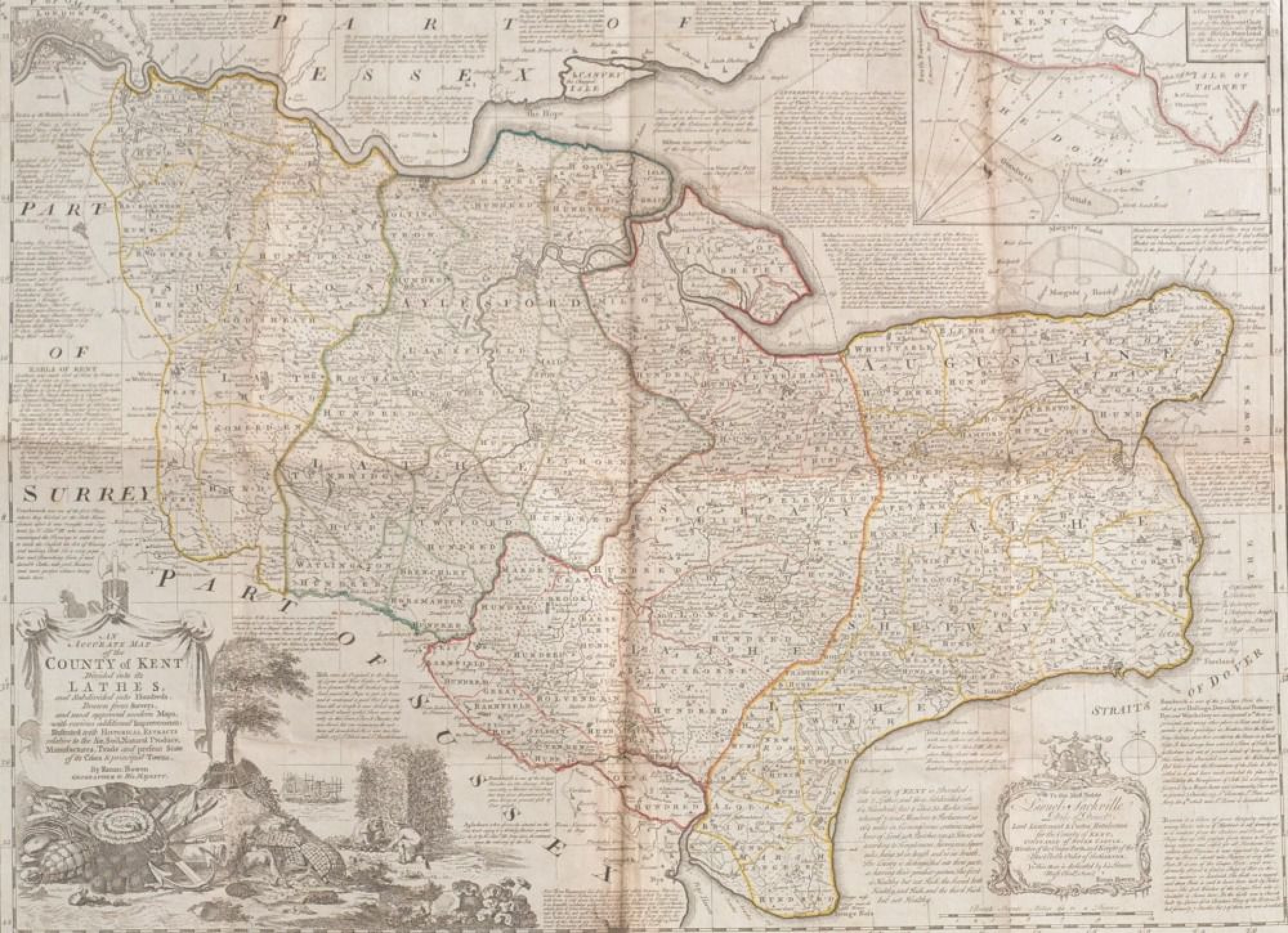
BOWEN (Emanuel) - An 18th Century map of Kent titled 'An Accurate map of the County of Kent divided into its Lathes and subdivided into Hundreds' with corner cartouche depicting hop growing and ship building, some hand colouring to the borders, plate measures 50 cm x 70 cm.
Other lots of interest
Want to see more like this?
Tell us your areas of interest and sign up for auction emails tailored to your requirements.
Register now


